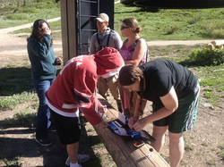
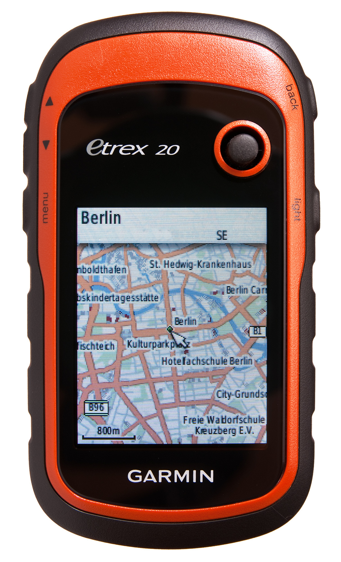
Today was a field trip, yippee! We did a water quality data collecting activity beginning a Alta Ski Resort. We traveled down the canyon taking samples of the water temperature, air temperature, turbidity, dissolved oxygen, nitrate, pH, and insect life. We stopped at Whitepine Trailhead, Willow Creek neighborhood, Murray Park, and the abandoned Fun Dome. Along the way we marked the waypoints and took photography in each location
I have a hard time seeing the classroom application of this activity because I honestly feel like it would be so difficult to do this with any elementary age students. Older students might be possible. I understand the concept and that this application was to help me feel comfortable with the GPS and community mapping data and information.
0 Comments
Today we participated in an activity in which we went and collected data on trees at Alta High School. We recorded the trees location by marking the waypoint, heights, width of the trunk, description, type, etc. When we finished collected the data we exported it into the Basecamp App and then used the ArcGIS Community Mapping Workshop. We did this so that all of our waypoints, data, pictures, etc. are saved on one map and can be shared and analyzed by others as well. It was good practice putting all the data into the google doc and exporting the files into the ArcGIS map. I think it is an interesting process and something I will hopefully use in the future with the teachers and students I work with.
We also had a guest speaker, Tiffany Kinder come and help us learn about and prepare for our field activity tomorrow. We will be collecting data on the water in Little Cottonwood Canyon which is a part of the Great Salt Lake watershed. She helped us understand what different samples we would be taking and what we will be testing for. It was interesting she was talking about the watersheds and what isn't safe for the water and causes problems. For me it was review, but it would be a great lesson for students and could be reinforced by testing water samples. Tiffany let us know that we can check out the equipment to do these projects on our own. It could be an exciting activity for a class of learners. However, I think would be difficult to plan, implement, and organize with the students. I look forward to getting out and Class notes taken via Evernote can be found here. Class today was full of GIS, GPS and mapping fun! Shenanigans were had and learning was performed. We participated in the exciting world of Geocaching which got me excited about helping teachers use waypoints, tracking, and other aspects of the GPS See class notes for a summary of what took place and important resources!
Class notes taken via Evernote found here.
|